MAP: the map
Sondes, APRS stations and ships on the map, and how to find them
What you see
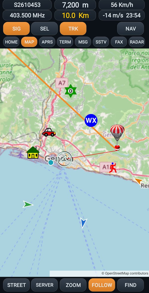
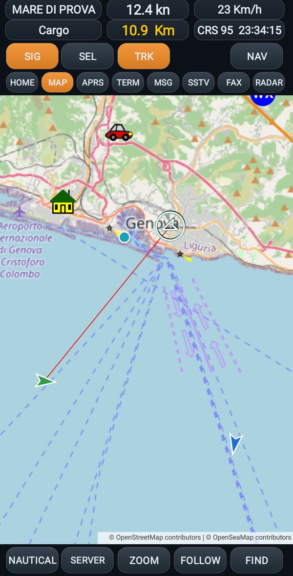
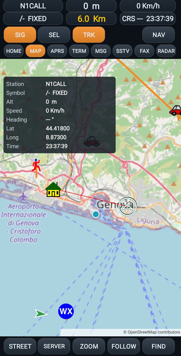
The map with your home, and around it what the radio receives: the sondes, the APRS stations with their symbol, the ships with their outline. A red line goes from home to the chosen object. A new sonde is picked up by itself.
At the top six boxes give the data of the chosen object: the name (for a sonde the serial number), the altitude, the speed, the frequency, the distance from home, whether it is going up or down and, for sondes, the time when it should touch the ground.
The taps
| Where | What happens |
|---|---|
| on an object | its card: name, data, distance |
| long tap on the card | the box with all the data, in a table; a tap on the box closes it |
| long tap on the map | Set home here? |
| on the name or on the frequency at the top | stops updating the data; another tap starts it again |
| on the altitude or on the distance | goes back to seeing everything together |
| long tap on the altitude or on the distance | deletes everything, tracks included |
The data box
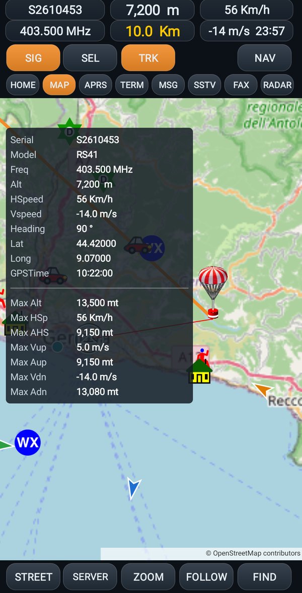
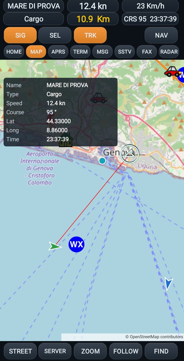
Hold your finger on the card of an object: a box opens with all its data, one item per line, the name on the left and the value on the right. A tap on the box closes it.
| Object | What is in the box |
|---|---|
| a sonde | all the data it sends, and under the line the highest values reached: altitude, speed, climb and descent |
| a ship | name, type, speed, course, latitude, longitude and time |
| an APRS station | callsign, symbol, altitude, speed, direction, latitude, longitude and time |
The buttons
| Button | What it does |
|---|---|
| SIG | the radio: a tap connects or disconnects it, like RADIO (USB) |
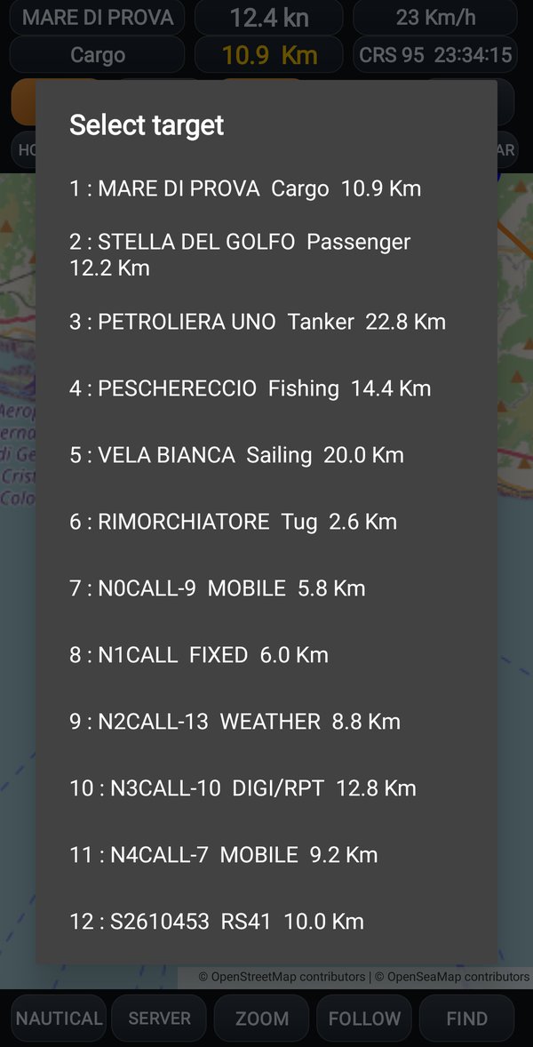
| SEL | the list of everything that has arrived, with the type and the distance: tap a row to choose it |
| TRK | turns the track of the objects on or off |
| NAV | the map turns together with the phone, with the line of the direction you are looking in |
| STREET / TOPO / NAUTICAL | changes the map: road, topographic, nautical (with the signs for the sea) |
| SERVER | you see what the others share; long tap: SHARE (see SERVER and SHARE) |
| ZOOM | frames home and object together, and keeps them framed |
| FOLLOW | the map follows the object |
| FIND | to look for it on foot: the map lines up along the line between you and the object, with the compass |
| + and - | zooms the map in and out |
Going to look for a sonde
- Set home to Phone GPS: this way home is you and it moves with you.
- On the radio open RS41 and turn on the output (4 DATA OUT SERIAL). Connect the phone: the sonde appears on the map.
- Look at the top for the altitude, whether it is going down, and the time when it should touch the ground.
- Tap FIND: the map turns along the line between you and the sonde. Walk following the line; the distance at the top goes down as you get closer.
Without a networkThe map downloads while you look at it. If you are going where the phone has no signal, look at it at home first, at the scale you need: the pieces already seen stay.